top of page

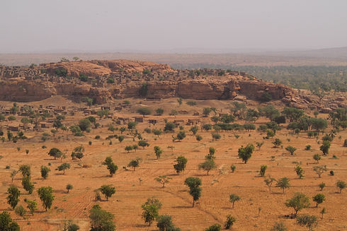
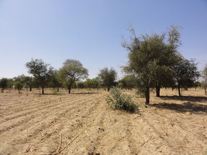
Trees outside forests in global drylands (TOFDRY)
ERC starting grant
TOFDRY aims to quantify the worlds non-forest trees by using PlanetScope satellite imagery and a deep learning technique which is able to identify objects within imagery at unprecedented accuracy.
Contact: Florian Reiner
PlanetScope
We form global mosaics at 3 m resolution from millions of PlanetScope scenes having a size of several hundred terabyte.
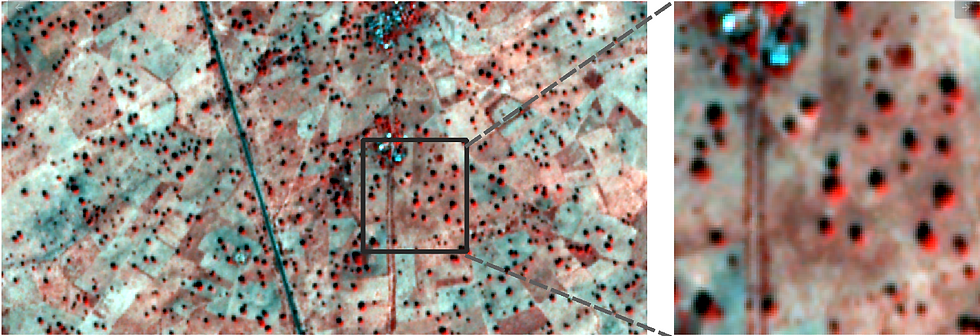
Deep Learning
We develop deep learning models being able to identify trees and groups of trees - at continental scale and with a precision at tree level.
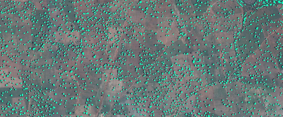
Tree cover maps at unprecedented accuracy
Tree cover maps at 1-m resolution will be linked with various variables, like soil fertility, agroforestry, carbon stocks, climate, etc.

bottom of page